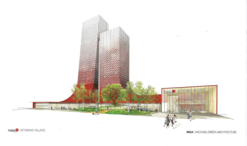
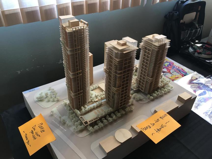
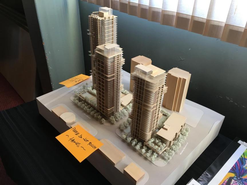
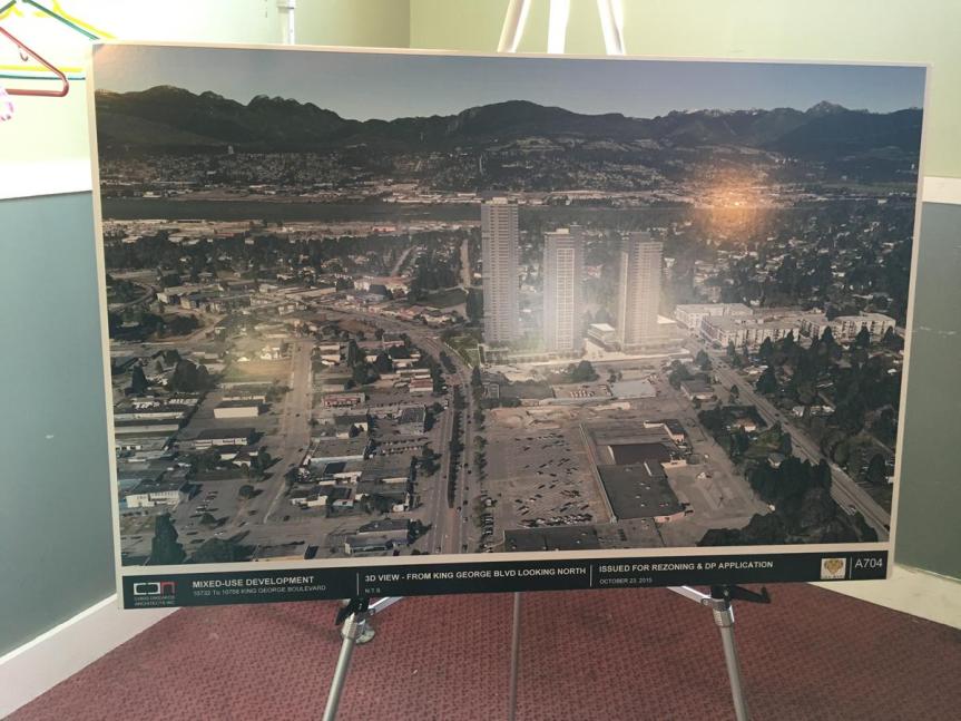
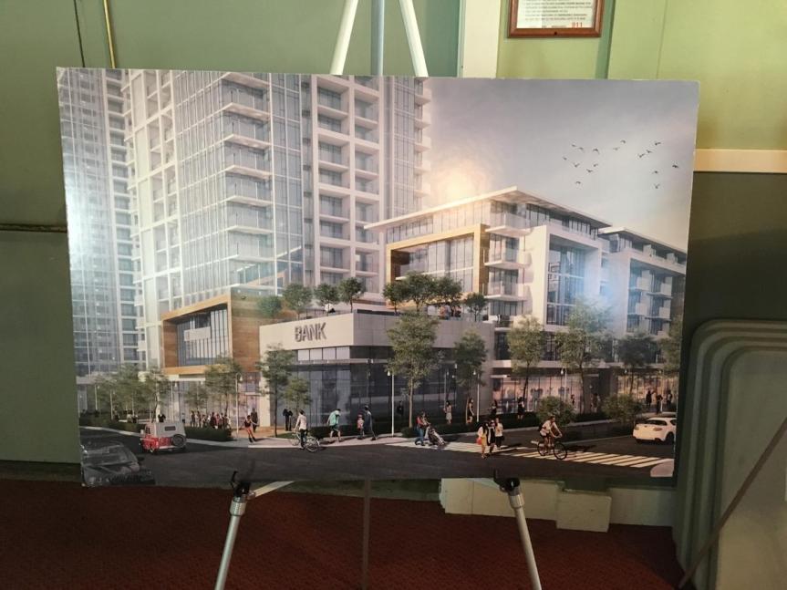
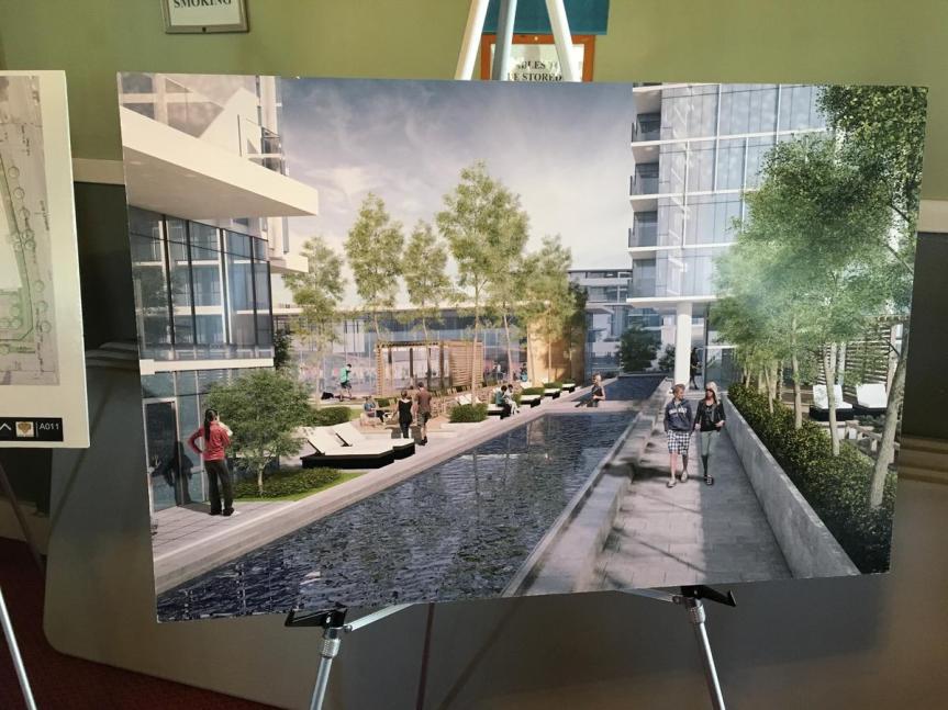
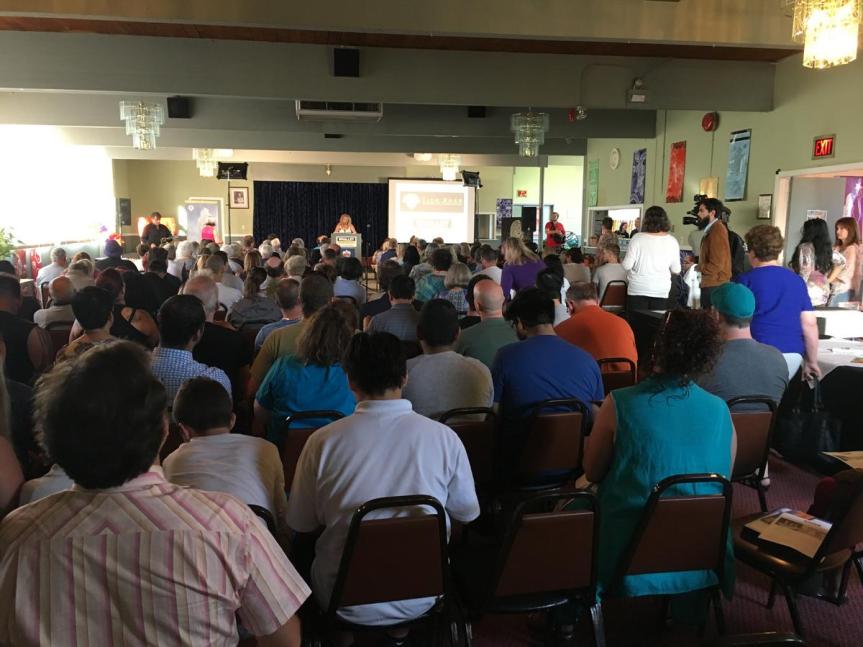
Developer Tien Sher Group held a packed Town Hall meeting today to present their vision and plans for a revitalized Whalley. Dubbed ‘Whalley District’, the plan is for a development consisting of 3 high-rise condo towers and 1 low-rise condo building over a mix of commercial, retail, community, and plaza space on the south-east corner of 108 Ave and King George Blvd in the historic heart of Whalley. Tien Sher has already developed the neighbouring ‘Quatto’ project at Whalley Blvd and 108 Ave, along with ‘Balance’ on Grosvenor Rd, and the currently under construction ‘Venue’.
While news of the development is not new, having been under application since 2015, what is new is their now announced plans to partner with a local arts group to bring a significant arts component to the project as a means to revitalize and bring culture to the Whalley area. It is expected that community space will be provided in the development for the non-profit arts group and their programming.
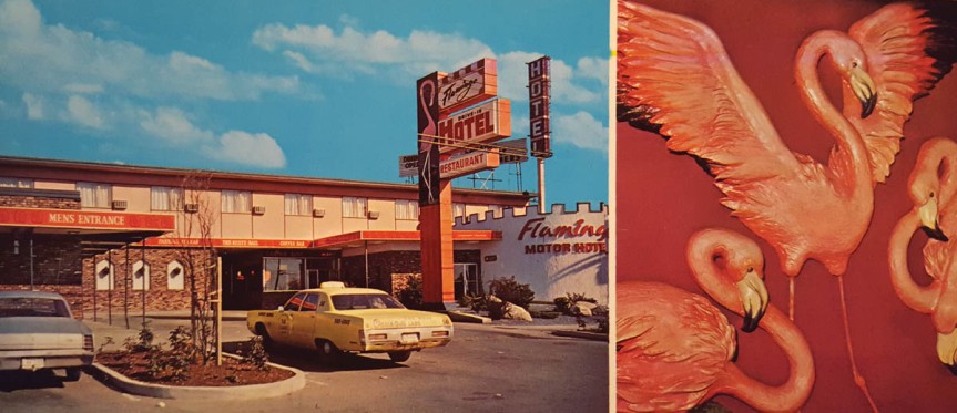
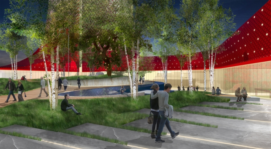
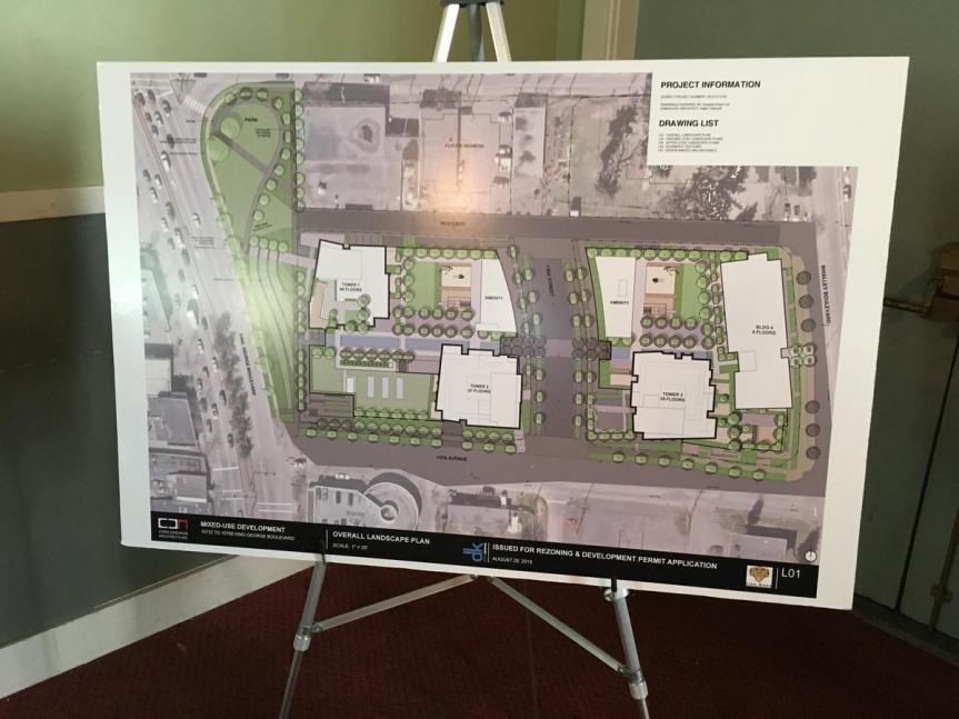
At the meeting, Tien Sher presented their plans for the introduction of a pedestrian-only street through the centre of the development dubbed the ‘Flamingo Block’ on what would be future 136A St. The Flamingo name comes from the long-standing Flamingo Hotel which has been on the site since the 1950’s, but will be torn down to make way for the development. At present, the City of Surrey wishes to see this as a future road open to traffic, however Tien Sher is leading a petition to build it as a pedestrian-only street where public art, cultural programming, and gathering could take place. This would compliment an additional proposed plaza/park on the corner of 108 & King George, also to be build as part of the development.
The project, which is expected to appear before council for preliminary approvals and public hearing before summer, is to be built in phases beginning with a 6-storey condo building with retail below along Whalley Blvd at the east end of the site. This will then be followed by phases 2-4 consisting of a 35-storey, 37-storey, and lastly a 46-storey condo tower(s) above commercial, retail, and arts/community space. It is expected that the first phase of the project will break ground by Spring 2018.
In the meantime, the arts group is looking to engage arts initiatives around the City Centre right away, and is seeking anyone who would like to become involved. Ideas for arts initiatives that can be introduced in the City Centre are wide ranging, from murals, public art, beatification projects, community groups, activities, and more.
For more information on Whalley District, to get involved, and to sign their arts & culture petition, visit: http://whalleydistrict.com
For more information and to get involved with the Flamingo Square Arts Connection, join their Facebook page: https://www.facebook.com/Flamingo-Square-Arts-Connection-754586634722551/
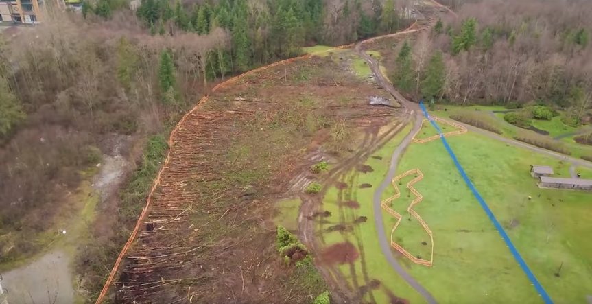 Captured image from drone footage showing clearing along southern edge of Hawthorne Park.
 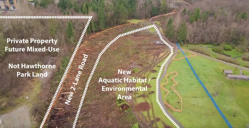 Cleared area in perspective – majority to be used for new aquatic habitat/environmental area. Lands to south are private property outside park designated for future mixed-use.
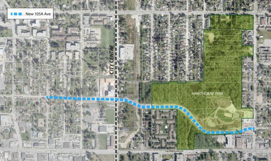
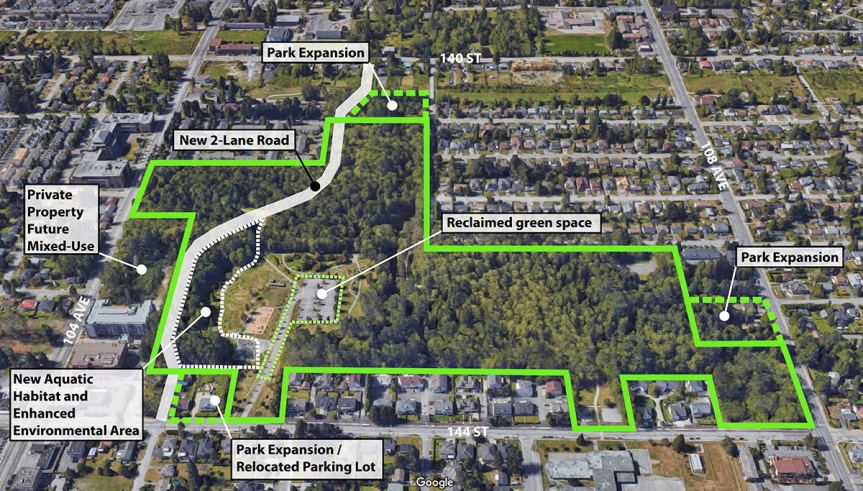 105A connector routing through the southern edge of Hawthorne Park in perspective. Vast majority of park to be preserved, expanded, and enhanced.
 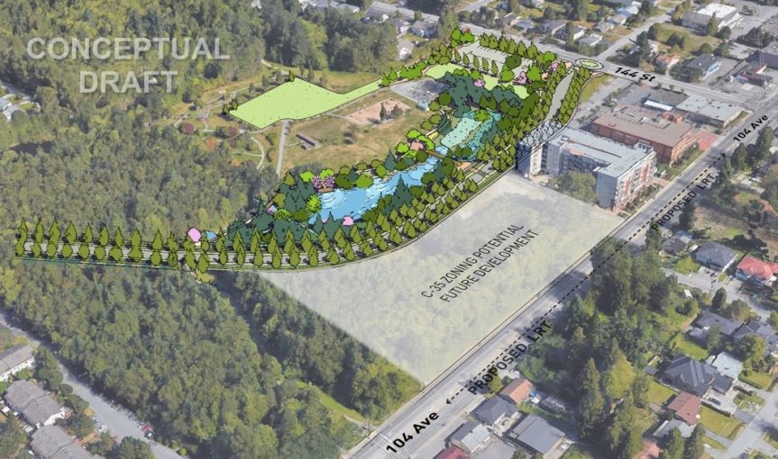 Artist rendering of new 2-lane 105A connector and new aquatic habitat, environmental enhancement area, and future development site south of 105A Avenue outside of Park.
 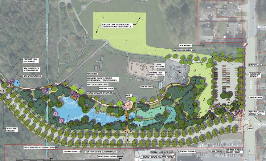 Artist rendering of new 2-lane 105A connector along edge of Hawthorne Park and new aquatic habitat, environmental enhancement area, and relocated parking lot/reclaimed green space.
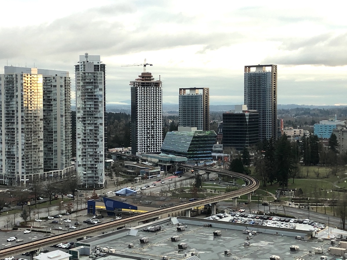 King George Hub nearing completion at King George Station
 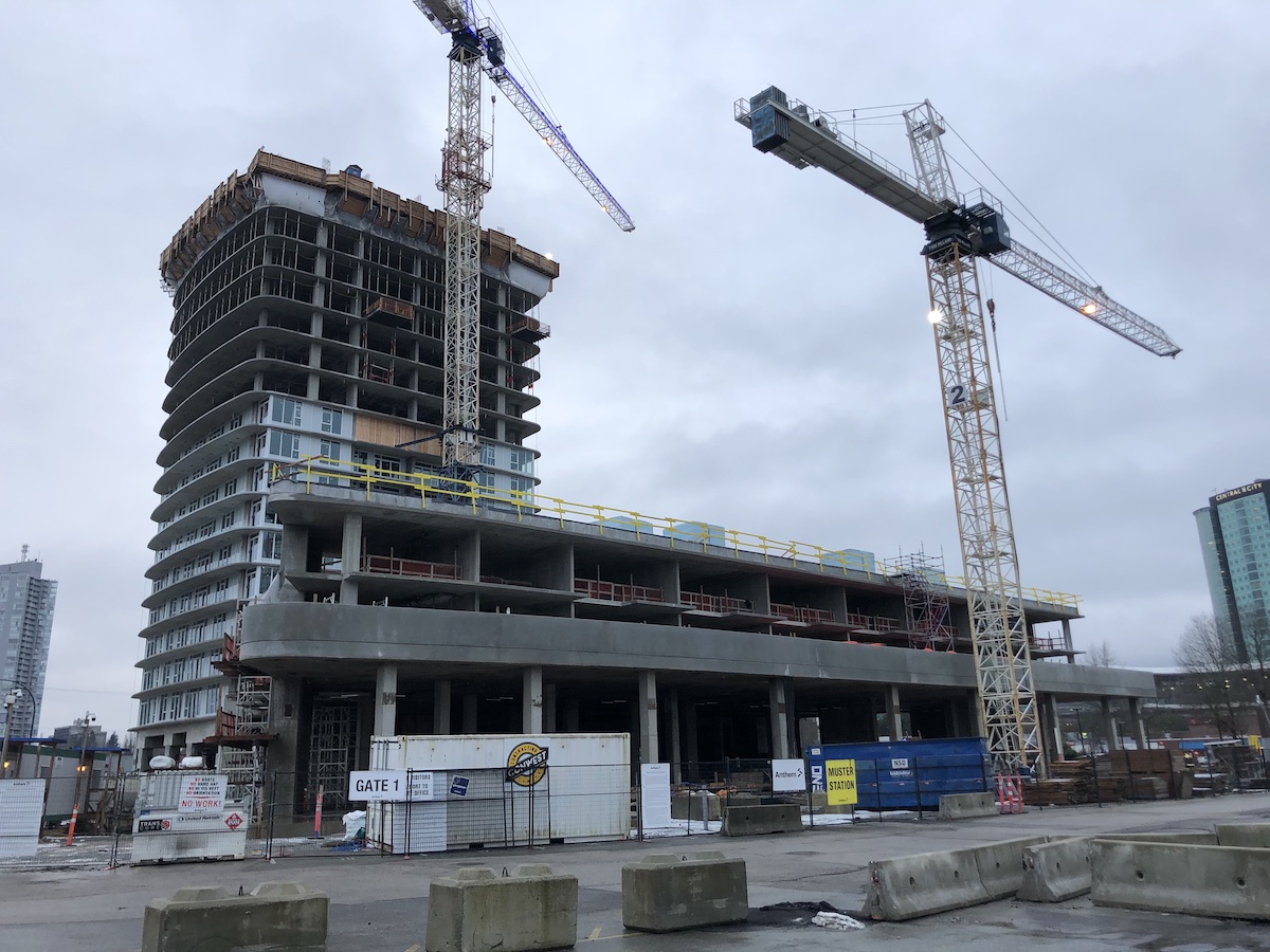 Georgetown One’s Retail & Townhouse podium taking shape along future 102A Ave
 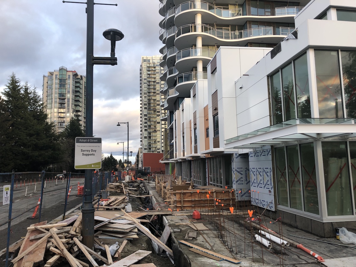 Streetscape and finishing touches underway at Linea on 104 Ave
 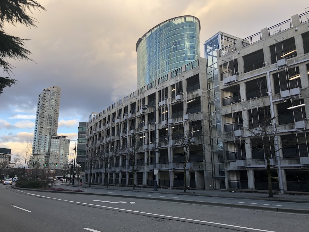 The Central City Parkade expansion completed in January 2021
 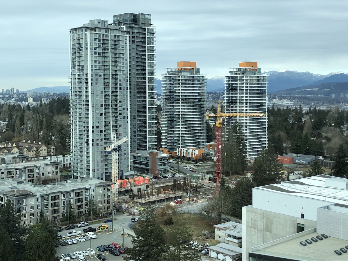 44-Storey One Central now above grade in West Village
 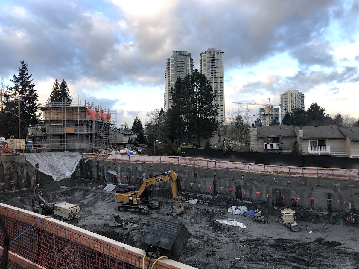 Excavation underway at phase 1 of Townline’s 25-Storey ‘The Holland’ project


 Completed phase 1 of 105A Connector project
 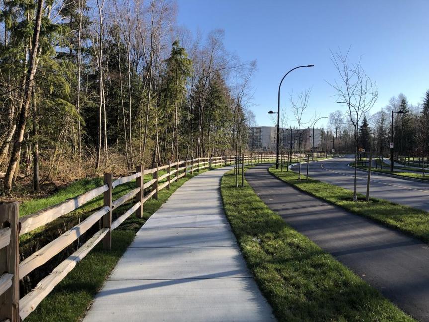 New 105A Ave though Hawthorne Park with sidewalk, bike-lane, and roadway
 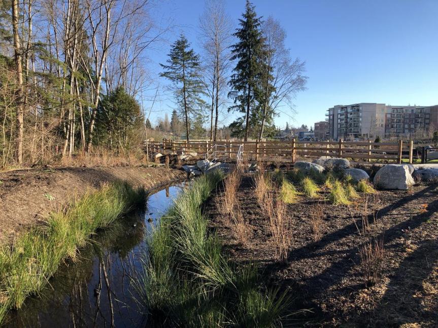 New landscaping and habitat area
 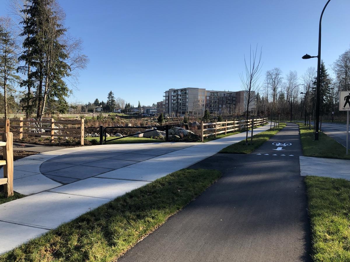 New sidewalk and bike lane near Aquatic Habitat
 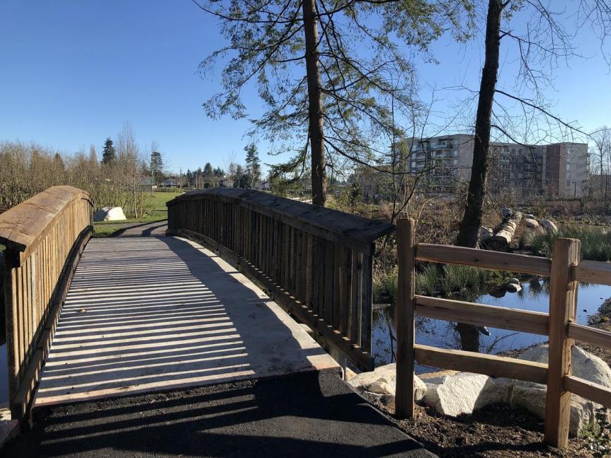 New pedestrian bridge over aquatic habitat
 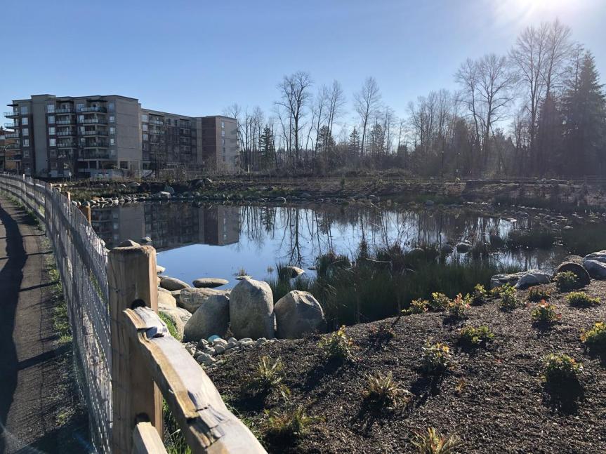 New Aquatic Habitat at Hawthorne Park
 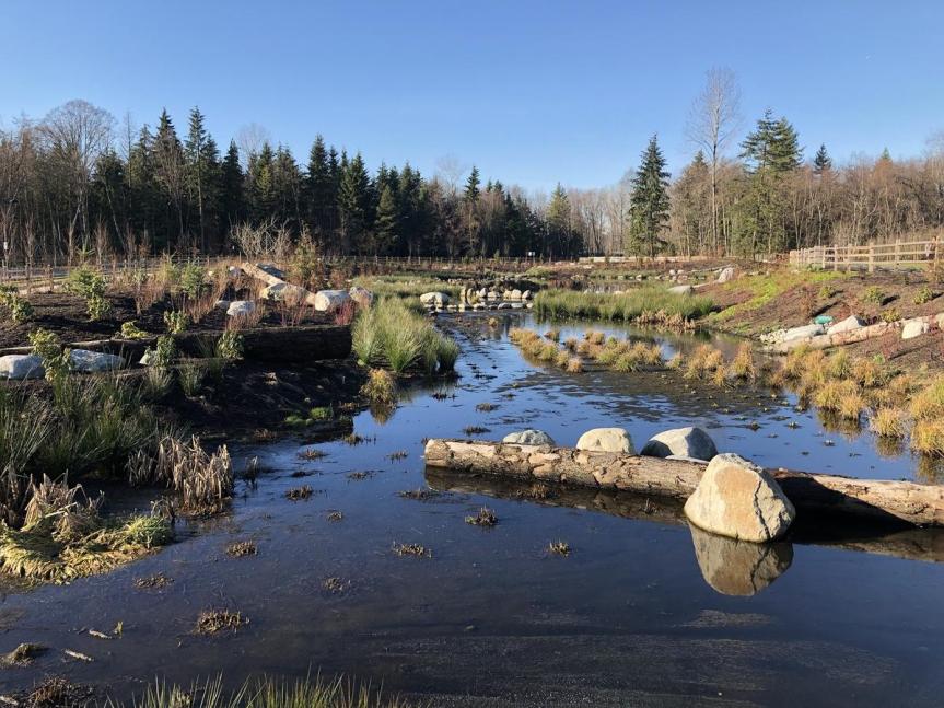 New Aquatic Habitat in Hawthorne Park
 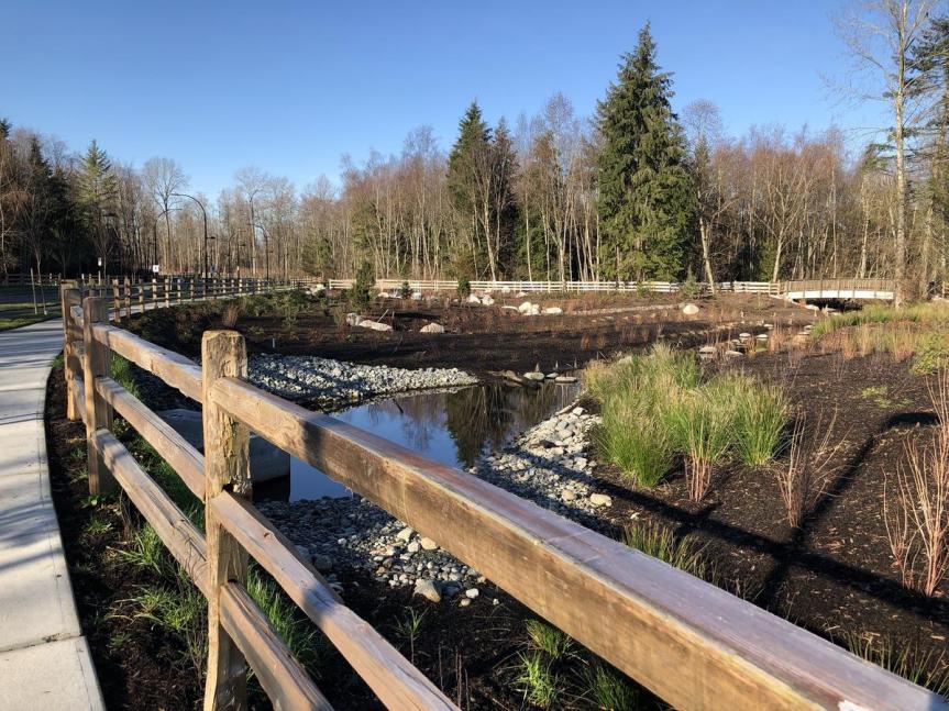 New Aquatic Habitat from 105A Ave
 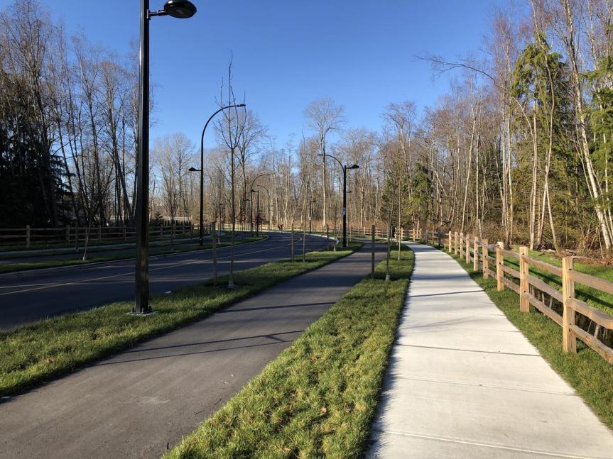 New 105A Avenue along south edge of Hawthorne Park
 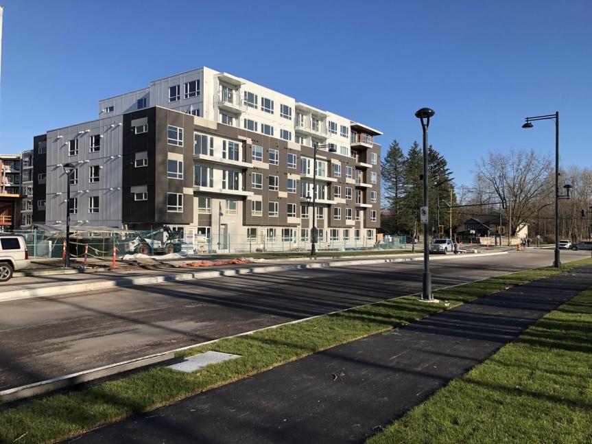 New 105A Avenue between 139 Street and 140 Street
 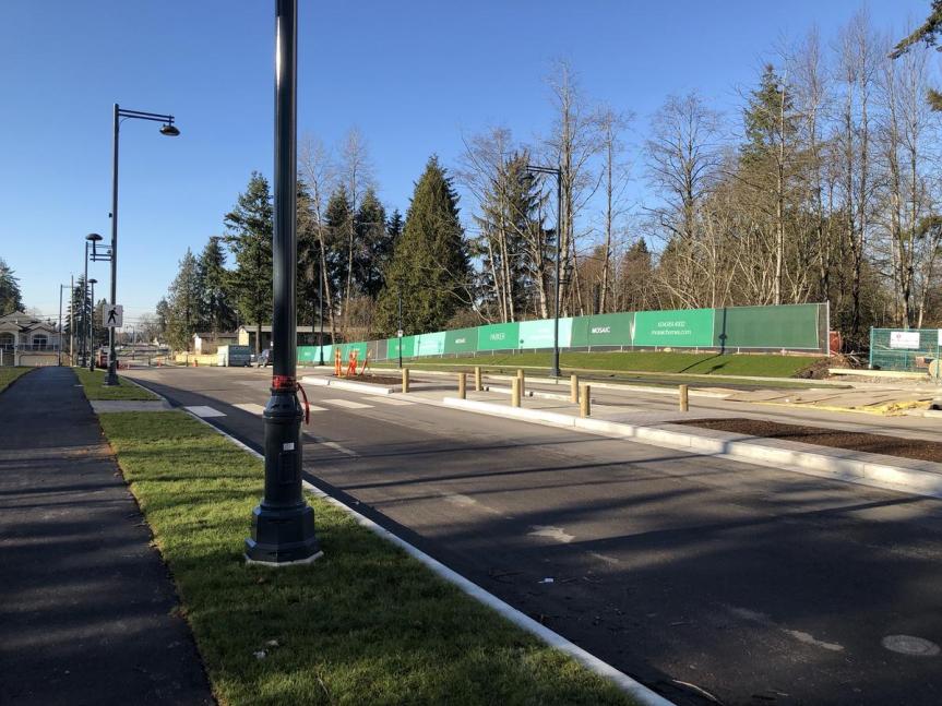 New 105A Avenue between 139 Street and 140 Street